First surveying company in the U.S. to achieve BVLOS waiver
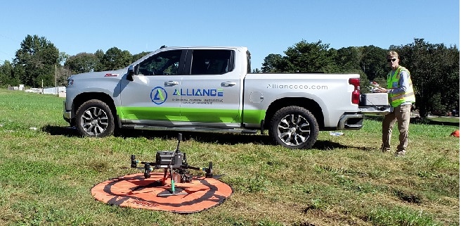
Alliance Engineering + Planning, LLC, a civil engineering, land planning, land surveying, landscape architecture and government relations firm based in Alpharetta, Georgia, is pleased to announce it has obtained a beyond visual line of sight (BVLOS) waiver to conduct an aerial land survey.
“As far as we can tell, we are the first surveying company in the U.S. to achieve this waiver,” states Robert Wilhite, Director of sUAS Services, Alliance Engineering. Wilhite is actively working through all BVLOS approvals to confirm this adequately.
 The majority of the BVLOS waivers approved have been for agricultural and power uses, and to universities, etc. for use case studies. Additionally, these waivers typically include repetitive flights for the same location.
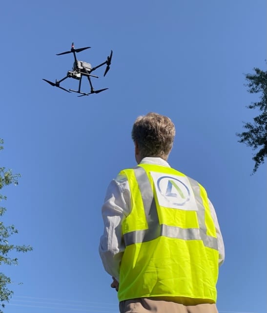
“I’ve been flying drones for eight years, and this is a major game changer for our company and industry,” said Wilhite.
In the survey world, when a project is approved, the clock starts and delivering upon the contracted services, and in this case, aerial LiDAR is time sensitive. When obstructions, such as man-made structures or natural elements, make it impossible to always keep the drone within visual line of sight (VLOS), which is an FAA requirement, this creates an impossible scenario. “We need to fly a project within days, not months,” said Wilhite.
The typical timeline to submit a request for a BVLOS waiver is three to 12 months. A company can complete the entire process and still be denied; an approval is not guaranteed. For the survey industry, this is a problem.
“It will get easier for Alliance to obtain BVLOS waivers in the future,” AEP Surveying Principal David Anderson said. “Robert and the team at Alliance will create a process to get these approved for specific sites going forward.”
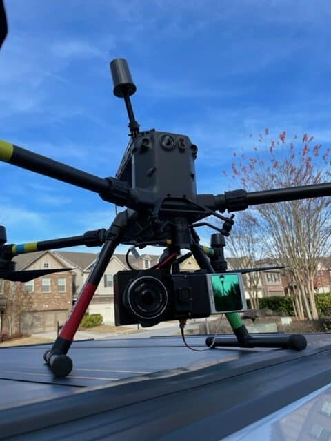 Presently, AEP has four drones, including an industry-leading Rockrobotic Automation Light Detection and Ranging (LiDAR) unit. With several certified drone pilots working for AEP, the company can conduct aerial mapping, topographical surveys, aerial videography, photogrammetry, aerial photos and much more.
The firm’s Government Relations Division offers zoning coordination services to align property with a community’s best land use. The AEP Landscape Architecture Division provides the finishing touches of a project, which are an integral part of any project’s design. AEP designers focus on details that shape a project’s identity.
No matter the project scope, the AEP team prides itself on delivering cost-conscious plans that balance design, development and budgetary goals while creating a unique visual environment. Consistent communication is a pillar of the AEP process and a primary reason it has long-term relationships with clients who return again and again for future project development.
About Alliance Engineering + Planning, LLC
Alliance Engineering + Planning, LLC is a full-service multi-disciplinary firm headquartered in Alpharetta, Georgia, with offices in Buford, Georgia and Huntsville, Alabama. Its client-focused design philosophy is to provide the most cost-conscious and creative solutions imaginable. The firm offers an alliance of diverse expertise in civil engineering, land planning, land surveying, landscape architecture and government relations. For information on Alliance Engineering + Planning, call 770-225-4730 or visit https://allianceco.com/.